Site marker clustering
Sun, 17/10/2010 - 23:34 — balint
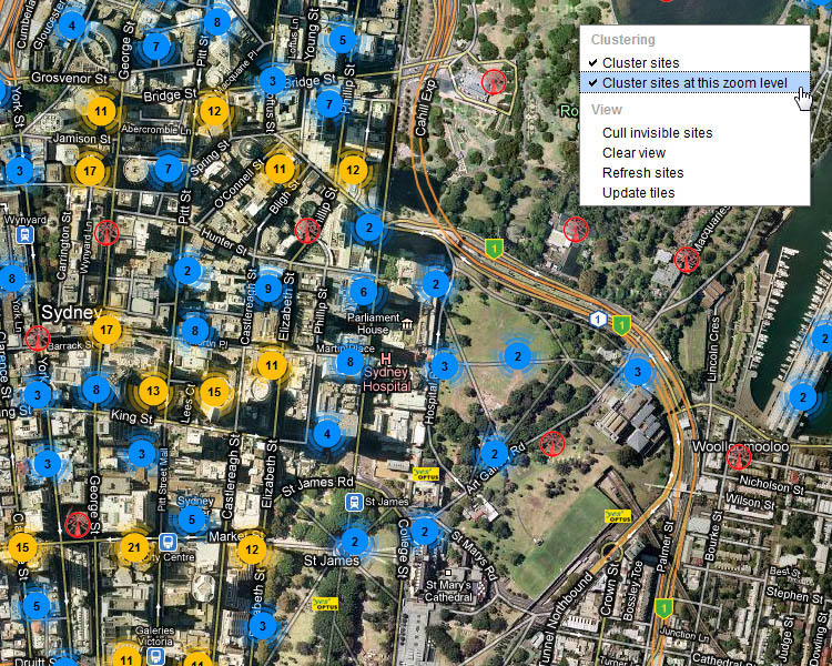
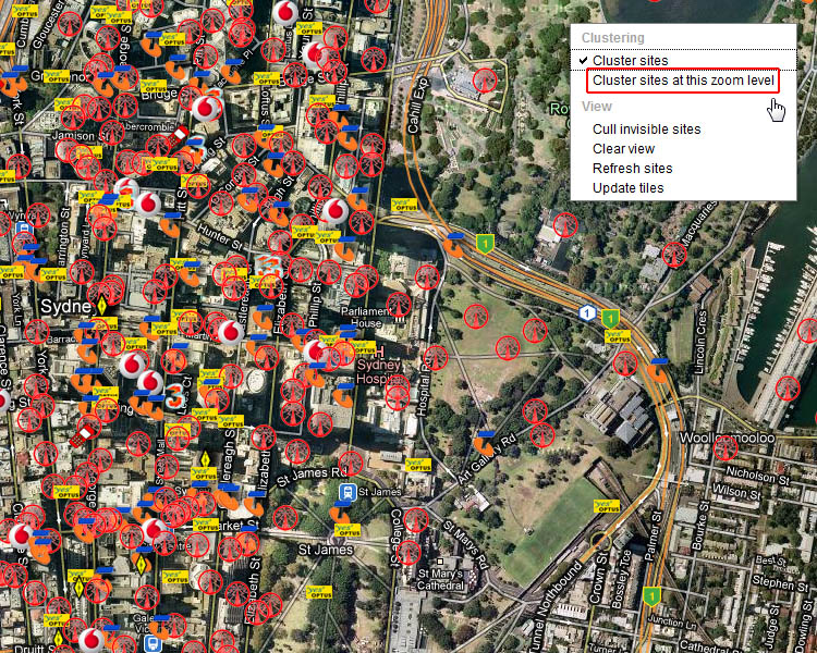
Site marker clustering is enabled by default at all but the lowest zoom levels. This is so the map doesn't becomes too cluttered (it also improves drawing time). If you wish, you can disable clustering the the current zoom level (and therefore all levels 'closer' to the ground), or switch it off altogether. This is especially handy when looking at sparse RF regions. Simply right click on the map to open the context menu.
Here is clustering enabled:

And clustering off (at this zoom level, and all below it):


