Analysis
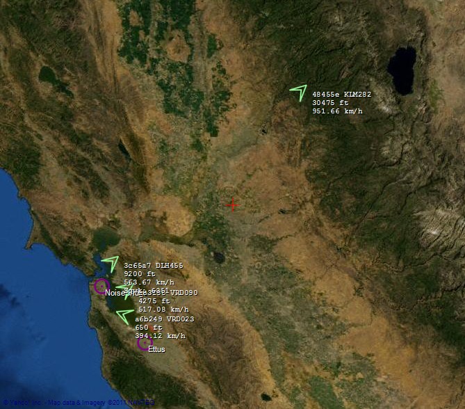
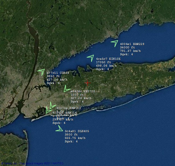
Mode S in the US
Sun, 24/07/2011 - 15:37 — balintSan Francisco & Silicon Valley:
New York, New York:
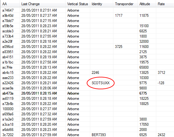
SCOTSUXX:
Mapping Software
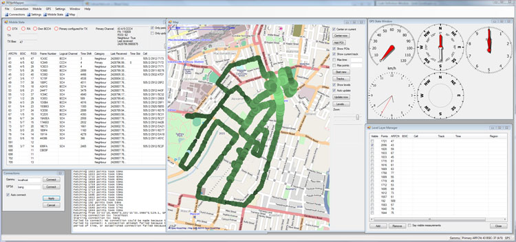
Wed, 24/02/2010 - 22:05 — balintThe mapping software brings all the data together and presents it on a map. Position and measurements are logged to a SQL database, and can be reviewed at will. The 'Level Layer Manager' allows customisation of data shown on the map. For example, one can choose to plot all measurements made on a particular ARFCN, and then further refine that to one cell by specifying the BSIC.
Collecting the data
Wed, 24/02/2010 - 18:04 — balintTwo streams of data are of interest: trace information from the mobile and position information from a GPS receiver.
To acquire position information, I used a commercial Navman device, which was modified to boot into WinCE and transmit NMEA data over a TCP connection (via Bluetooth Dial-Up Networking and GPS2Blue) to a virtual serial port on my laptop, which in turn was connected to gpsd. Full details can be found here.
Geolocation Experiment using the Mobile GSM Cellular Network
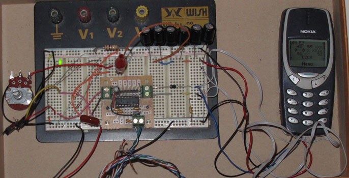
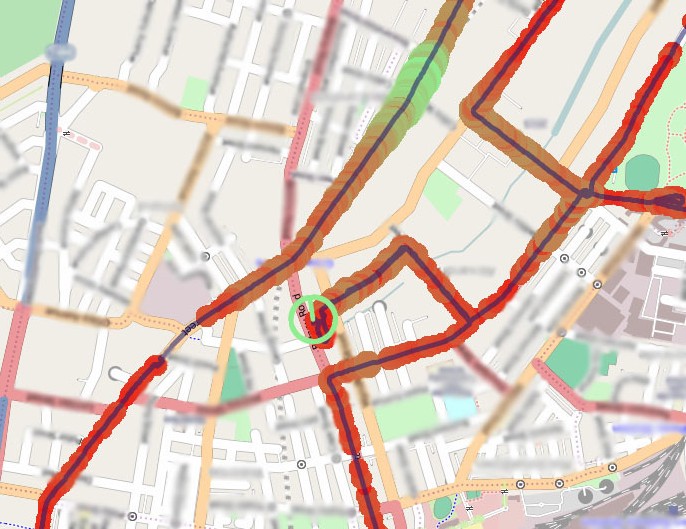
Tue, 23/02/2010 - 12:49 — balintThis experiment involved acquiring CellID and signal strength information from the GSM cellular network, tracking one's position while acquiring this data, and finally presenting it nicely. It is summarised in the following pictures (full details are described in the sub-sections found top-left):
Counting Lines of Code
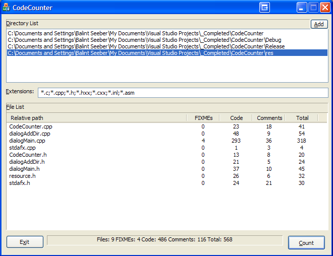
Mon, 30/07/2007 - 15:09 — balintAlthough there exists a plethora of programs that count lines of code, I thought I would write my own. It is designed to analyse C/C++ code and ignore whitespace, // and /**/ comments (both the single and multi-line sort). It also counts the number of FIXME's one has left in their code. Other languages (eg: Javascript, assembly) that also use such commenting conventions are compatible too.
TehDetector
Fri, 04/05/2007 - 14:06 — balintI wrote a Windows-based video analysis and processing framework to underpin the research I undertook for my undergraduate thesis.
Some of the features it boasts:
- DirectShow-based: Enables analysis and process of any video/audio format that DShow supports.
- Seeking with frame-accuracy in an MPEG-2 stream: This handy feature I implemented, when used with certain filters, enables frame-accurate seeking (which otherwise is not possible with the standard filter graph (i.e. source filter and demultiplexer).
- Input live streaming TV: I use a Terrestrial Digital Video Broadcasting card to feed Teh Detector live video, which it processes in real-time. It (obviously) also supports offline analysis of stored content.
- Extensible detector architecture: Detectors (analysis components) can be written in C++ and added at will to the framework to extend its capabilities. I implemented several detectors in a hierarchy fashion to find television commercials in a live stream.
- Automatic frame caching: The framework automatically caches video frames and optimises analysis during runtime by also caching various calculations performed on an incoming frame.
- Event store/viewer: Detectors can output 'events' that describe a detected feature in the video, which is automatically stored and managed by the framework. These events can then later be reviewed in an intuitive manner.
- Lots of others: detector timing profiler, signal strength meter, playback rate control, filter graph management, bookmarking, frame dumping, extensive keyboard shortcuts...

